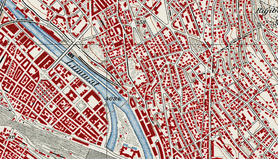
Vectorization of Building Footprints from the Siegfried Map Series
Hinweis: Die folgenden Informationen sind in Englisch verfasst.
Summary
Historical geodata is of interest for a multitude of different disciplines, including ecology, urban planning, or even linguistics. While conventional approaches to “unlock” the features of interest (e.g., buildings, water bodies, roads) required to develop tailor-made image analysis algorithms, recent advances in the field of machine learning provide a more efficient approach to this challenge. This project aims at investigating how such methods (e.g., convolutional neural networks) can be used to generate comprehensive, high-quality building vectorizations of all Siegfried map sheets. The results will be made available to the scientific community of Switzerland via the geodata4edu.ch geoportal.
Kick off
01.04.2017
Researchers
Lead: Prof. Dr. Lorenz Hurni
Internal: Dr. Magnus Heitzler
Funding sources
- Own resources of professorship
- swissuniversities (via the project externe Seite geodata4edu.ch)
Partners
- ETH Library
- University of Applied Sciences Rapperswil
