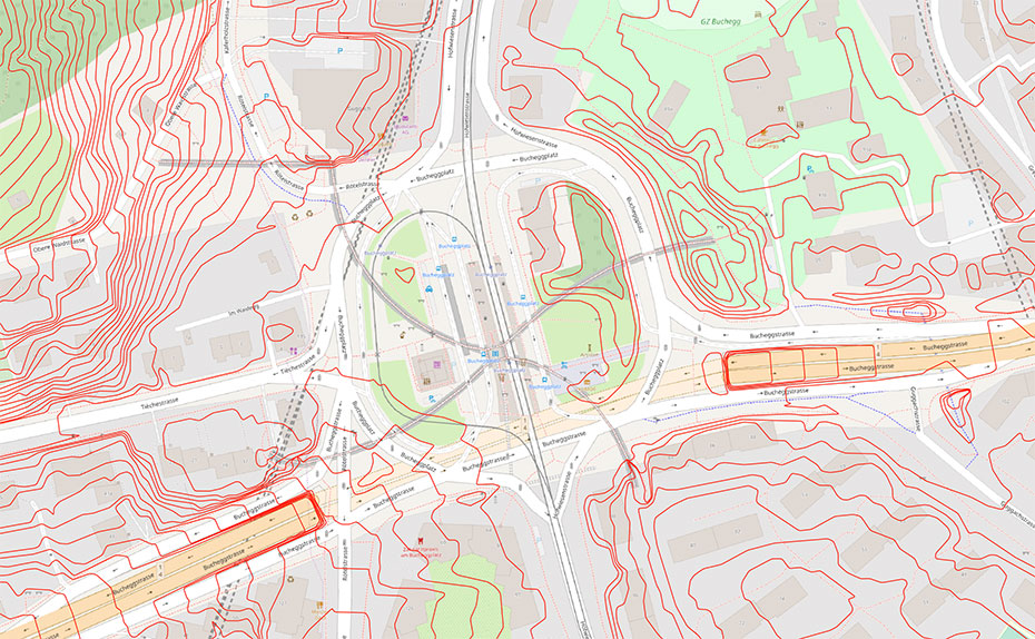
Isolines for the City of Zurich
Hinweis: Die folgenden Informationen sind in Englisch verfasst.
Summary
The city of Zurich uses cartographically refined isolines for a multitude of different purposes such as architectural visualization or urban planning. Existing isolines are either outdated or are of poor cartographic quality. For these reasons, the Institute of Cartography and Geoinformation at ETH Zurich was commissioned to produce a new isolines dataset based on a recent digital elevation model that conforms to cartographic standards. Features of this dataset should include an appropriate level of generalization, the consideration of steep walls, the removal of unneeded contours (e.g., those lying within buildings) and perpendicularity when crossing roads or rivers. This project primarily encompasses the development of a GIS-based workflow that allows to generate such a dataset in an automatic manner.
Kick off
01.08.2019
Researchers
Lead: Prof. Dr. Lorenz Hurni
Internal: Dr. Magnus Heitzler, Nicolas Schmidheiny
Funding sources
- City of Zurich
- Own funding of the professorship
Partner
City of Zurich
