Atlas of Switzerland – online
Summary
The Atlas of Switzerland – online is based on an updated collection of already existing map topics from former editions, e.g. geology in category Nature and Environment. In parallel, the list of existing thematic topics will be completed by new categories, e.g., History and Future.
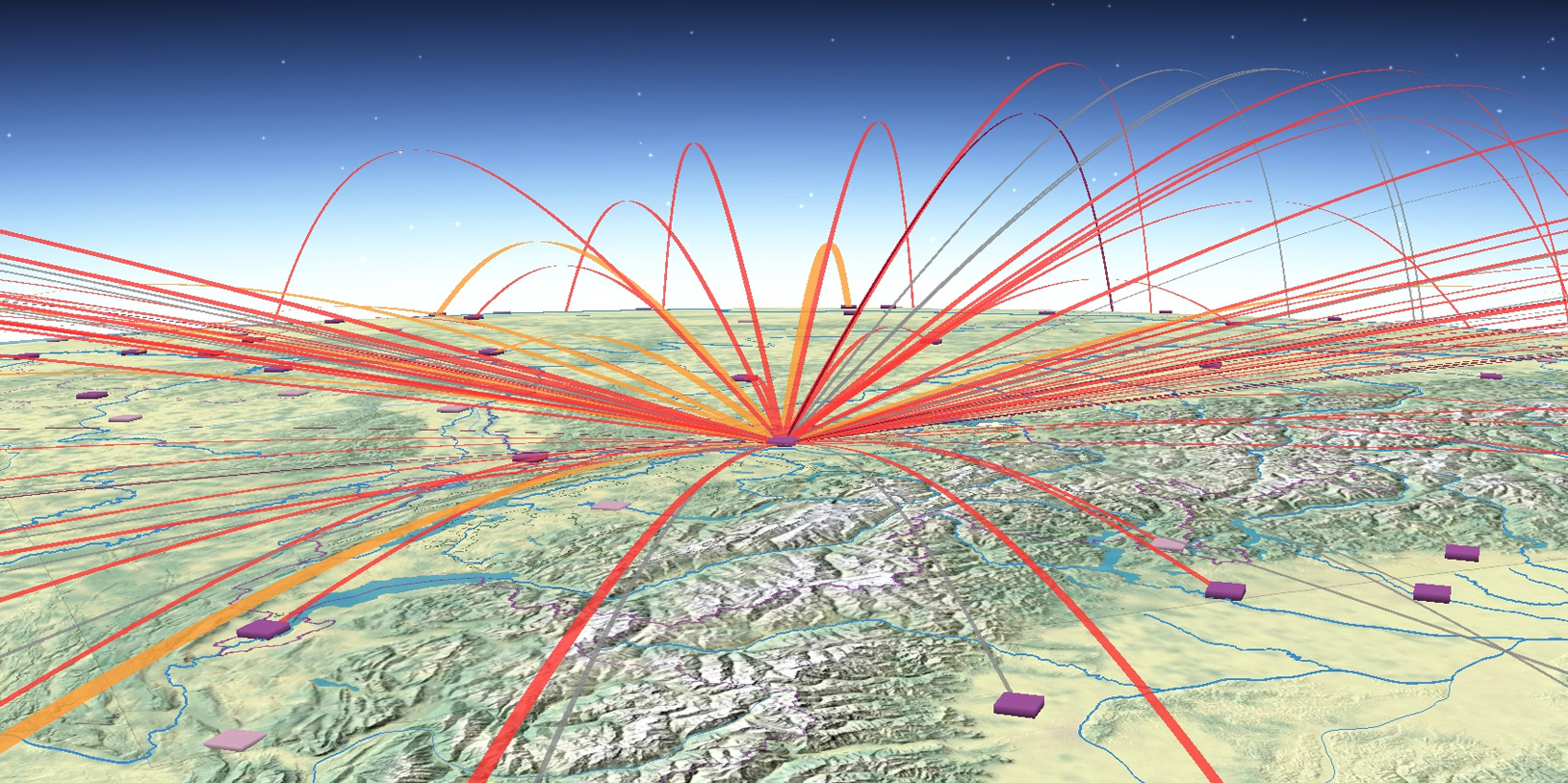
As a main visualization principle, a map should be presentable in 2D and 3D, thus combining the advantages of orthogonal and perspective map view. 3D visualization techniques that fulfill this requirement are e.g. tubes, fences, billboards, extruded objects, floating objects and layer, or solid 3D objects. In every case, a 2D map will provide object information of the top surface or the tilted objects, whereas a 3D map may contain additional variable values on its z-axis (by means of height, color, texture).
Kick off
01.01.2011
Researchers
Lead: Hurni, Lorenz
Internal: Bär, Hans-Rudolf. Bonassi, Nina. Chesnokova, Olga. Dell'Ambrogio, Michele. Eichenberger, Remo. Geisthövel, Roman. Hollenstein, Livia. Huber, Stefan. Jeller, Patrik. Koblet, Thomas. Odden, Benedicte. Räber, Stefan. Rüegsegger, Marianne. Schmuki, Michael. Serebryakova, Marianna. Sieber, René. Schmid, Christoph. Schnürer, Raimund. VomSattel, Raphael.
Funding sources
Public institutions (e.g. federal offices)
Partners
Bundesamt für Statistik BFS,
Bundesamt für Landestopografie swisstopo
Web
externe Seite www.atlasofswitzerland.ch
externe Seite de | externe Seite fr | externe Seite it
Social Media
Twitter: externe Seite @AtlaSwitzerland
YouTube: externe Seite Atlas of Switzerland