Swiss World Atlas
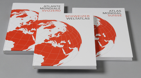
The Swiss World Atlas is the most widely used school atlas in Switzerland. It has been used in geography lessons for over 100 years. In spring 2017, a completely revised new edition appeared with over 400 maps in German, French and Italian. The atlas is tailored to specific Swiss conditions and is coordinated with the Lehrplan 21 (curriculum 21) and the Swiss Conference of Cantonal Ministers of Education’s (EDK) framework curriculum. The Swiss World Atlas can be used at both secondary level I and secondary level II.
The newly designed introductory section of the Swiss World Atlas explains the various types of maps, making them easier to use. Following an extensive section on Switzerland, the atlas contains maps of Europe, other continents and the world. Using standardised overview maps and themed special maps, the Swiss World Atlas offers a comprehensive image of our earth, covering topics like settlement, economic geography and global processes such as climate change. The printed atlas is supplemented by content and thematic indexes, a name and subject index and country statistics, making it easier to use in school lessons.
On external pagewww.schweizerweltatlas.ch/en, the Swiss World Atlas is complemented by novel interactive tools on special topics.