Storytelling with Animated Interactive Objects in Real-time 3D Maps
Summary
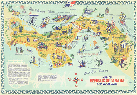
Storytelling is a popular concept employed in various domains including cartography. While being guided through space and time, map readers receive thereby background information to a map topic encoded in a narrative. Mainly elements placed around and on top of the map (e.g. image galleries) conveyed stories up to now. In this project, we propose an intrinsic approach where existing and additional objects inside the map gain narrative and map-specific functionalities. This approach gives storytellers a physical presence and anchors them spatially within the map. Decorative objects (e.g. figures, animals) – as found in historic atlases, tourist maps, and maps for children – will be the protagonists in our maps.
The overall goal of the project is to engage map readers through an immersive storytelling approach, provide them with valuable support while studying a map, and create long-lasting memories. Animated interactive objects are intended to increase the frequency of map use and the map literacy of readers.
Duration
01.01.2018 – 31.12.2023
Researchers
Lead: Prof. Dr. Lorenz Hurni
Internal: Schnürer, Raimund
Funding source
ETH Research Grant
Partners
- Map Department, Zentralbibliothek Zürich
- Computer Graphics Laboratory, ETH Zurich
- Visualization and Multimedia Lab, University of Zurich
- GIScience Center, University of Zurich