Mapping Ukraine
Summary
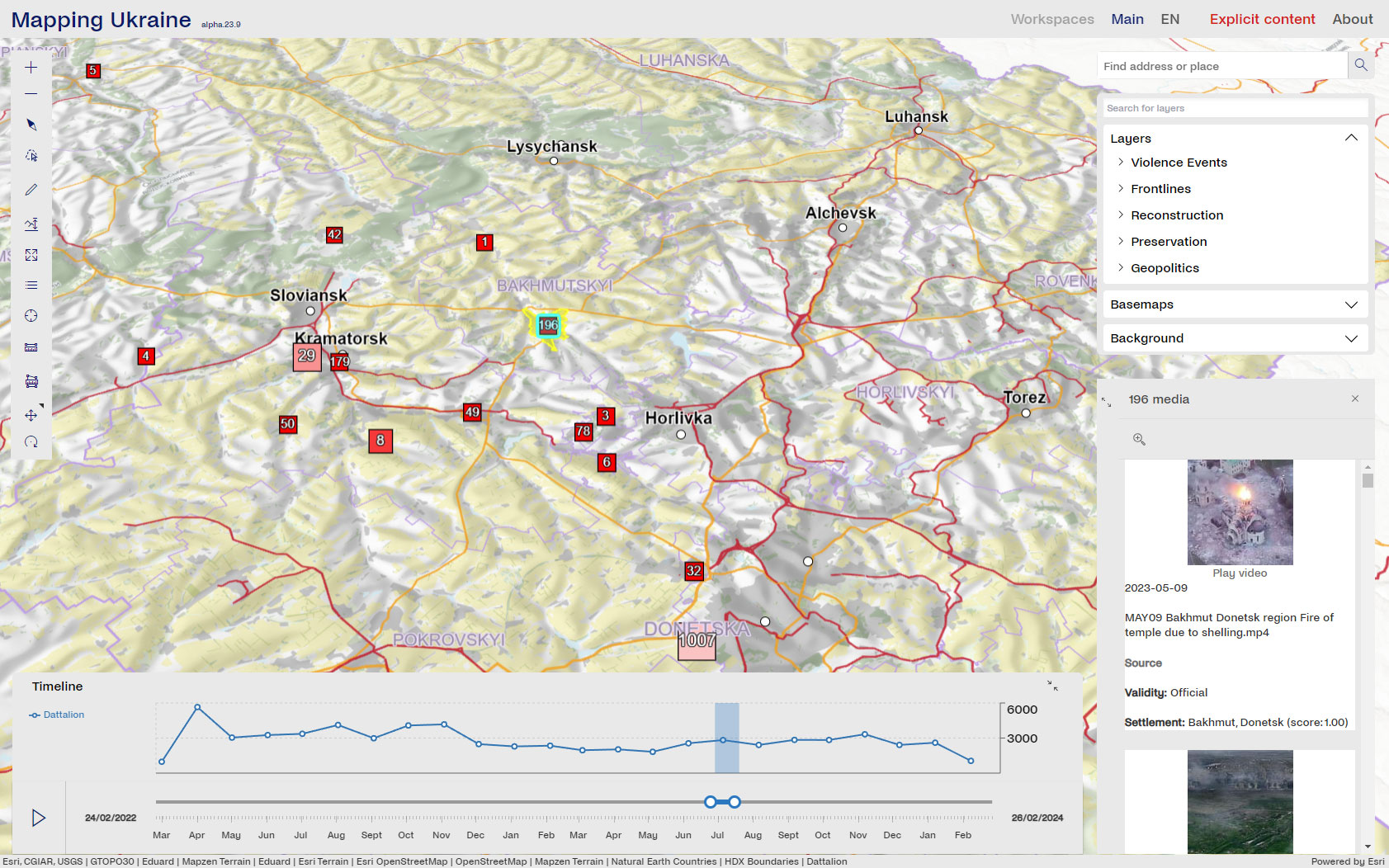
The project ‘Mapping Ukraine’ aims at creating a web-based platform to document and examine the impact of war on civilian infrastructure in Ukraine. Texts, images, videos, and 3D scans depicting damage will be collected, verified, geolocated, and integrated into the platform using geoprocessing and machine learning methods, amongst others. Contextual information like frontlines and interactive tools like video trajectories will support users in performing spatio-temporal analyses. This can help individuals making restitution claims, historians understanding the full extent of the destruction, or urban planners organising the reconstruction in a sustainable manner by reusing materials, for instance. Once established, there is the option to further extend the platform to a global scale and also record damage caused by natural disasters.
‘Mapping Ukraine’ has been initiated and is led by the Institute of the Geodesy and Photogrammetry. Our institute contributes to the project by providing appealing base maps and relevant thematic maps as well as by assisting in web application development.
Duration
27.09.2022 – 29.02.2024
Partners
Institute of the Geodesy and Photogrammetry, ETH Zurich
Institute of Construction & Infrastructure Management, ETH Zurich
