Atlas of Switzerland – print
Atlas of Switzerland – print, sheet 17, vegetation.
Summary
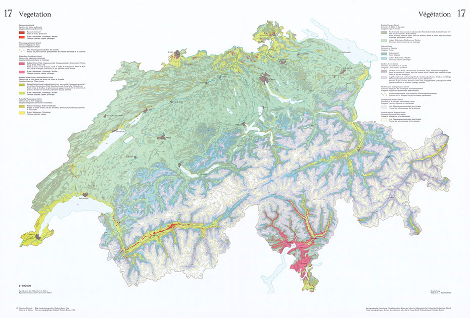
A first printed version with over 600 maps has been produced and published until 1997. These maps show the whole range of thematic cartography, including various kinds of charts, and even 3D symbolization: external page Atlas of Switzerland – print (Portfolio).
Project period
01.01.1960 – 31.12.1997
Researchers
Lead: Spiess, Ernst. Hurni, Lorenz
Internal: Sieber, René. Leuzinger, Heinz. et.al.
Funding source
Own resources of the professorship
Partner
---
Publications
---